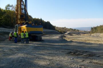
- Civil and industrial marking
- Trace roads, railways and bridges
- Checking their support networks and thickening
- Property register cadastral works of lands and buildings, plot, accessions, aside, topographic plan
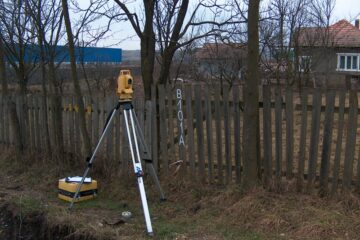
- Marking the topographic site network (TCN)
- Edges buildings within the comple.
- Drawing axes and points of elevation of the project
- Measurements and measurements to calculate excavation volumes
- Low and high precision leveling
- While the progress of construction of buildings
- Tracking land – transposition property field limits
- Surveying for infrastructure projects, sewage
- Site plans including contours
- Longitudinal and transverse
- Site plans for industrial sites
- Tracing routes of communication
- Surveying work surface and underground mining
- Volume calculations
- Monitoring and updating the database volumes of stock status
- Topographic plans in detecting and investigating archaeological sites
- Automatic optical levels
Categories: Uncategorized